Well, of course we go into the field because we have to test hypotheses derived from remotely sensed data. What are the relationships between the various terraces visible in the picture? Are there materials buried that can be dated either with radiocarbon or optically-stimulated luminescence?
Ultimately, what are the lithofacies (textures, composition, structures that distinguish the deposits) that characterize the sediments within this valley? What are the architectural and temporal relationships between these different lithofacies?
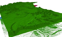
And of course, how can I make a "fly-over" movie of this model without my computer crashing?
No comments:
Post a Comment